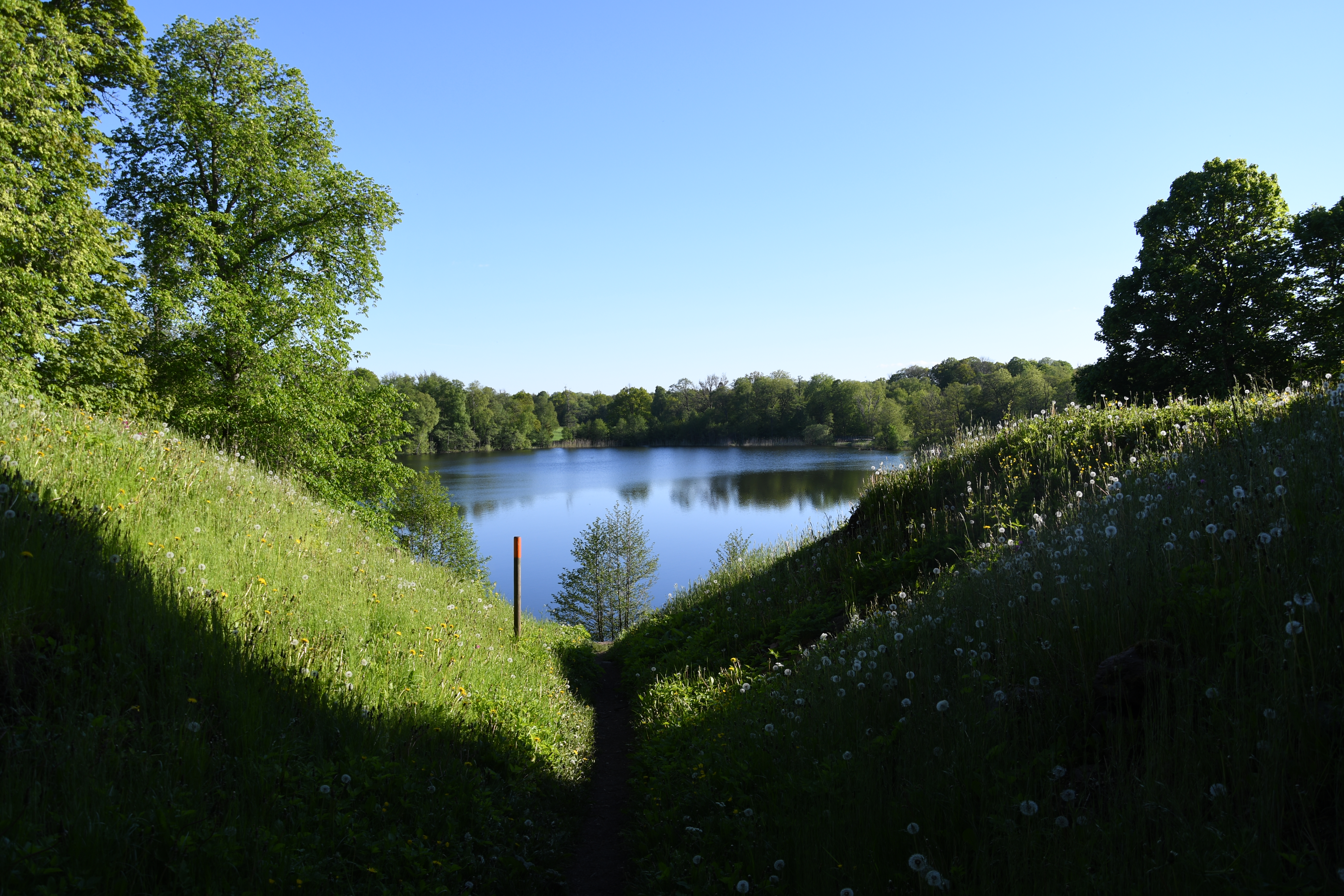
Experience the heart of the rolling 'kame' landscape on a hike that combines rich history with flourishing nature. This easy 2.7-kilometre loop takes you through open farmland and lush deciduous forests, where you will pass castle ruins and enjoy beautiful views over the area's lime-rich lakes. It is the perfect trek for those wanting to experience a lot within a shorter distance.
About the trail
The hike at Höjentorp is characterised by the unique, undulating landscape formed by the retreating ice sheet. The terrain is wonderfully varied and hilly, with ridges, mounds, and hollows providing a dynamic experience along the way. The ground alternates between soft forest paths and gravel tracks, and although the surrounding landscape is hilly, this particular loop is designed to be easy to walk with gentle elevation changes.
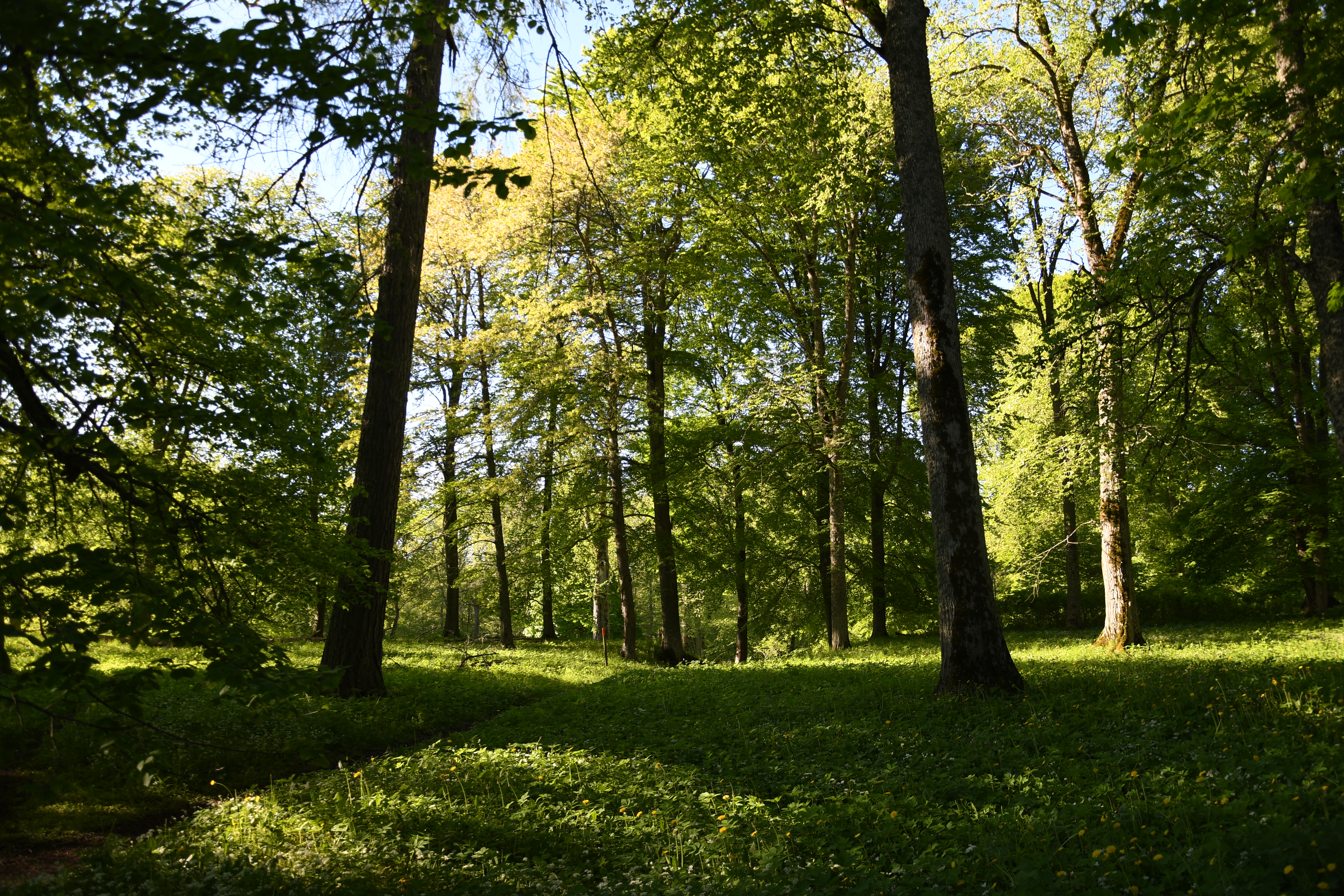
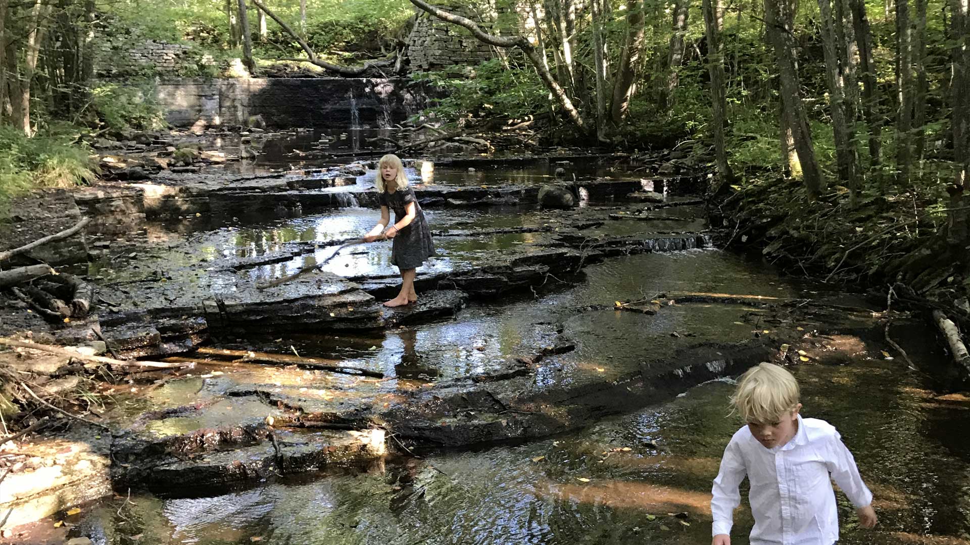
Along the trail, you wander through a park-like setting featuring over a thousand ancient broadleaf trees, primarily oak and elm. Here, you are met by pastures, leafy groves, and wooded wetlands. One of the highlights is the proximity to the lime-rich lakes and the historical elements that serve as reminders of the site's heyday as a royal estate.
What shouldn't I miss along the Höjentorp trail?
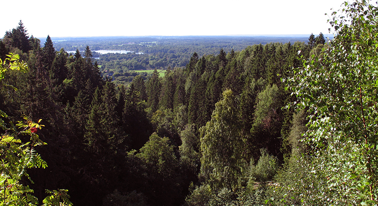
The area is steeped in history. You will pass the remains of Höjentorp Castle, which once belonged to Count Magnus Gabriel de la Gardie before it tragically burned down in 1722. Today, a cellar remains as a monument to a bygone era. Don't miss taking a short detour up Drottningkullen (The Queen’s Hill). It is said that Queen Ulrika Eleonora stood here watching the castle burn, but today it is mainly the far-reaching views that draw visitors – from here, you can look out across the landscape and see all the way to Varnhem Abbey Church.
When is the best time to hike in Höjentorp?
Every season has its charm, but spring is something truly special in this area. During this time, the forest slopes are blanketed with hepatica, wood anemones, and lungwort, while the cherry trees are in full bloom. It is also during spring that the characteristic scent of wild garlic spreads through the groves. For those interested in botany, the summer also offers rarities such as orchids and bird's-eye primrose in the area's rich fens.
Practical information
The trail is approximately 2.7 kilometres long and marked with orange markers. It starts and finishes at the car park located along Höjentorpsvägen, near the ruins of the old castle in Skara. Information boards about the nature reserve are also available at the car park.
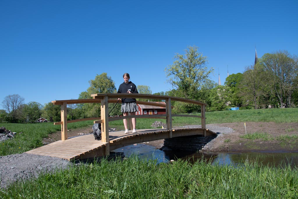
As parts of the path pass through pastures and hilly terrain, sturdy shoes or boots are recommended, especially if it has rained, as some sections can become damp. Along the way, there are rest areas with benches and tables where you can pause and enjoy a picnic with a view of the glistening lakes.
Elevation profile
- Lowest
- 128 m
- Highest
- 142 m
- Ascent
- +50 m
- Descent
- -51 m